Pushing the Limits
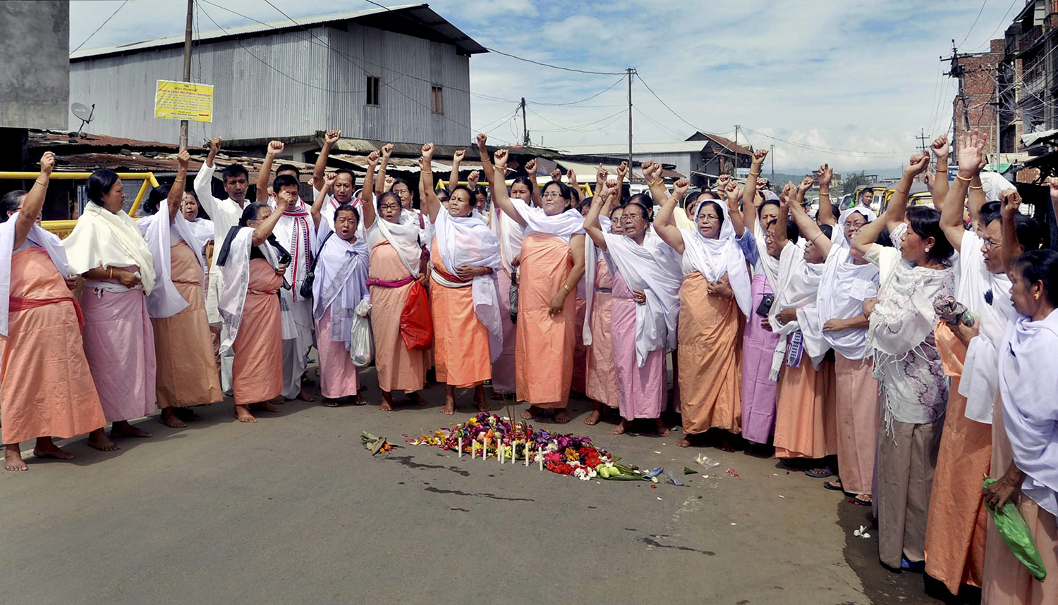
Manipur’s hill population seeks better representation through the delimitation exercise
On 6 March, the Indian government reconstituted the Delimitation Commission for Jammu and Kashmir, and for four northeastern states: Assam, Arunachal Pradesh, Manipur and Nagaland. Delimitation is the process through which boundaries are redrawn for state assembly and Lok Sabha constituencies, in order to reflect changes in population. This is done on the basis of the preceding census. While the last delimitation exercise was conducted across India between 2002 and 2008, it was held back for these states. Various political actors, especially from Assam, had strongly objected to the use of the 2001 census on the grounds that the National Register of Citizens had not yet been updated.
Two shifts under the Modi administration—the revocation of Article 370 and bifurcation of Jammu and Kashmir into two union territories, and the updation of the NRC in Assam—have dramatically altered this context. A government order issued by the law ministry stated that the circumstances leading to the deferring of the delimitation exercise in Assam, Manipur, Arunachal Pradesh and Nagaland “have ceased to exist and that the delimitation of the constituencies as envisaged under the Delimitation Act, 2002 could be carried out now.”
The delimitation exercise in Jammu and Kashmir will be done on the basis of the 2011 census, but data from the 2001 census will be used in the northeastern states. The announcement has triggered various fault lines that exist in these states—including between those who live in the hill districts and those who live in the districts located in the central valley. The hills, populated with tribal communities such as the Naga and Kuki, feel they have been given too few seats in the Manipur assembly, and as a result have long been underrepresented. They feel that the delimitation exercise will finally correct this historical injustice. The Meiteis, who form the majority of the population that lives in the valley and have historically dominated the state’s politics, want to postpone the exercise again so that data from the upcoming 2021 census is used instead.
The first delimitation exercise was conducted in 1952 before the first Lok Sabha election. Manipur, recently merged into India, was provided with 30 assembly constituencies—20 for the central valley and 10 for the hills. The break-up was not changed in the second delimitation exercise, in 1962. Manipur attained statehood in 1972, and, after the census that year, the third delimitation exercise changed the distribution of seats: 20 for the hills and 40 for the valley. Nineteen constituencies in the hill districts of Manipur were reserved for the Scheduled Tribes. This break-up has remained the same ever since, despite changes in the area’s demographics. The representation for the population of the hill districts has been a bone of contention. The hills occupy 90 percent of Manipur’s land and the valley 10 percent. In terms of population, those in the hills, as per the 2011 census, constitute about 43 percent, against 57 percent for the valley.